Tuesday 6 November 2012

3D Fieldwork - October 31st - post post-overwash

Again on October 25 and 26, waves reached almost 3 m height, therefore we made another post post-overwash survey. During fieldwork, the waves were still about 1.5 to 2 m height.

Waves during fieldwork.

Surprisingly, overwash intrusion was smaller than the one reached during previous survey. Is it a result of the beach morphology adjustment to winter oceanographic conditions?

Evidences of overwash intrusion.
Some profiles developed an erosion bluff at the barrier crest.

Erosional bluff.

Team: Ana, Rita, Mara, Carlos.

3D Fieldwork - bathymetry

On October 3, a bathymetric survey was made in front of the topographic survey. The survey was made between the shore limit reachable by boat, and the 6 m water depth.
GPS mounted on top of the pole that connects to the eco-sounder . 
The sea was calm, so we were able to reach further onshore, and data-quality was good.

The skipper following profiles on Hypack software.

Team: Ana and Carlos.
Skipper: Daniel and Zapa.


3D Fireldwork - post-overwash topographic survey

On October 2nd we repeated the 3D fieldwork to measure a post-overwash situation. Overwash occurred probably between 23 and 25 September, when Hs reached about 1.5 m.
Fortunately, overwash intrusion was variable alongshore. Closer to Ancão Inlet no overwash occurred, whilst on other areas overwash reached more than 20 m.

Profile close to Ancão Inlet where no overwash occurred.

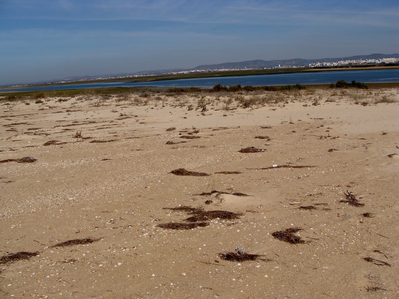
On some profiles, overwash intrusion reached the lagoon (during high tide), and therefore the entire barrier island was affected.

Profile with overwash.

Overwash occurred even in areas with more dune vegetation.

Overwash on the barrier front and vegetation on the backbarrier.
Team: Ana, Rita, Mara, Isabel.